Geo Heatmap for location clusters. Requires latitude and longitude values in the dataset. For datasets without latitude/longitude, see
geo-coding features in Cloud9QL.
Note: This requires Google Maps connectivity for on-premise installations.
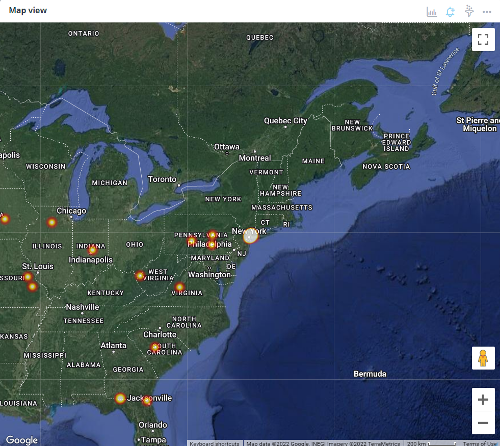
Chart Configuration
| Field |
Interpretation |
| Center Latitude |
Map center latitude |
| Center Longitude |
Map center longitude |
| Zoom Level |
Map zoom level |
| Map Type |
Type of map |
| Count Field |
If you have lat/long points with a weighted number field |
| Radius |
The radius of influence for each data point |
| Max Opacity |
Ranges from 0 to 1 to control the look and feel of the heatmap |
| Min Opacity |
Ranges from 0 to 1 to control the look and feel of the heatmap |
| Blur Factor |
To control the gradient |
| Field |
Interpretation |
| Title Font Color |
Set the title font color of the widget |
| Title Font Size |
The default title font size is 14px. |
| Field |
Interpretation |
| Show Title |
Show Title on Widget |
| Analyze |
Show Analyze menu |
| Alerts |
Show Alert icon |
| Filters |
Show Filter icon |
| Drilldowns |
Show Drilldowns menu |
| Query |
Show Query menu |
| Data/Export |
Show Data/Export menu |
| Data Diagram |
Show Data Diagram |
| Share |
Show Share menu |
| Refresh |
Show Refresh menu |
| Maximize |
Show Maximize menu |
| Remove from Dashboard |
Show Remove from the Dashboard menu |